We use cookies to make your experience better. To comply with the new e-Privacy directive, we need to ask for your consent to set the cookies.


Free Map Downloads
Download any of these great free world maps or other free maps online and get to know the big wide world around you.
 |
 |
|
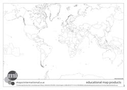
Outline black and white World map with country borders only.
|
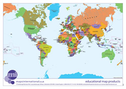
Politically coloured World map with hill shading and bathymetry.
|
 |
 |
|
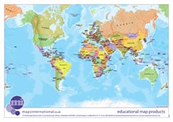
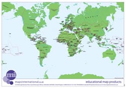
Politically coloured World map.
|
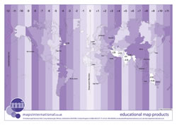
World map with time zones.
|
 |
|
| World map with 'flat' sea and country colours. | |
Europe Outline Maps and Maps of Europe | ||
|---|---|---|
 |
 |
 |
|
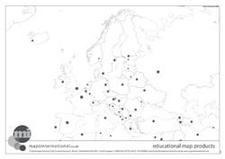
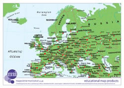
Outline black and white Europe map with country borders and capital spots only.
|
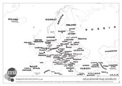
Outline black and white Europe map with country borders, capitals and country names.
|
Politically coloured World map with hill shading and bathymetry.
|
 |
 |
 |
|
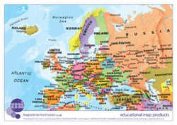
Politically coloured Europe map.
|
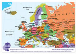
Europe map with 'flat' sea and country colours.
|
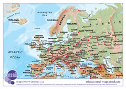
Europe map with hill shading and hypsometry.
|
UK Ouline Maps and Maps of the UK |
||
 |
||
|
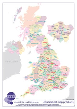
UK map with country/ county/ district/ unitary boundaries and names.
|
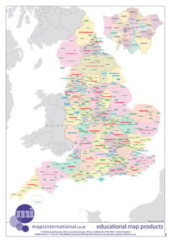
England map with country/ county/ district/ unitary boundaries and names.
|
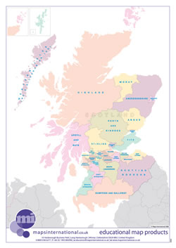
Scotland map with country/ county/ district/ unitary boundaries and names.
|
|
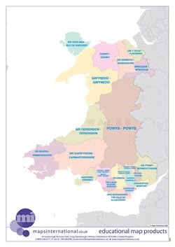
Wales map with country/ county/ district/ unitary boundaries and names.
|
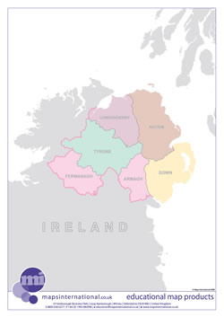
Northern Ireland map with country/ county/ district/ unitary boundaries and names.
|
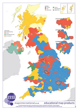
UK map with parliamentary boundaries and names.
|
 |
||
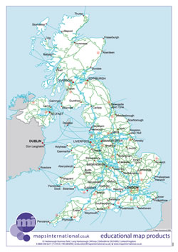
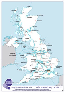
| UK map with major transport links including motorways and airports. | UK map with major transport links including motorways, primary routes, ferry routes and airports. | |
Terms of Use
*All material is copyrighted and should not be reproduced for commercial use. If you intend to use the free resources for anything other than classroom use, then please contact us on 01993 880 939 or [email protected] to discuss the cost and royalties applicable. No responsibility can be assumed for the accuracy of the information given.