We use cookies to make your experience better. To comply with the new e-Privacy directive, we need to ask for your consent to set the cookies.
Political Wall Maps
Our political maps have been designed to show the governmental boundaries of a country or state. The political map range includes world, continental and country maps.
-
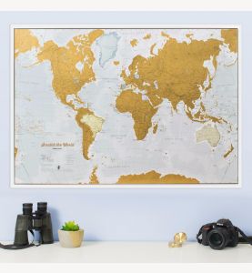 Scratch the World® map print
Available in various sizes and finishes
-
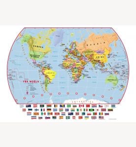 Elementary School Political World Wall Map with flags
Available in various sizes and finishes
-
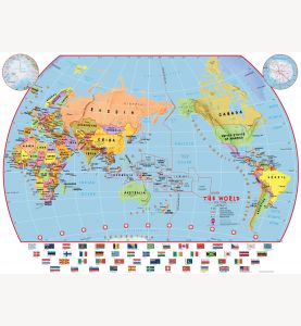 Elementary School Pacific-Centred Political World Wall Map with flags
Available in various sizes and finishes
-
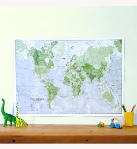 Glow-in-the-Dark World Map
Available in various sizes and finishes
-
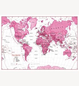 Children's Art Map of the World - Pink
Available in various sizes and finishes
-
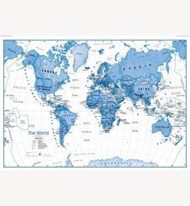 Children's Art Map of the World - Blue
Available in various sizes and finishes
-
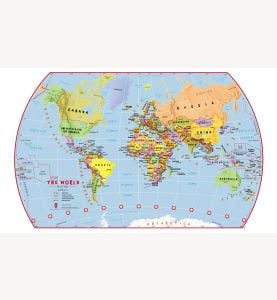 Elementary School Political World Wall Map
Available in various sizes and finishes
-
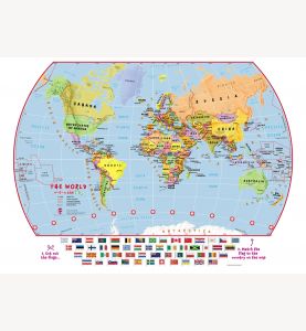 Match The Flags World Map
Available in various sizes and finishes
-
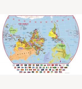 Elementary School Upside-Down Political World Wall Map with flags
Available in various sizes and finishes
-
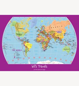 Personalized Child's World Map
Available in various sizes and finishes
-
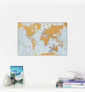 Scratch the World® travel edition map print
Available in various sizes and finishes
-
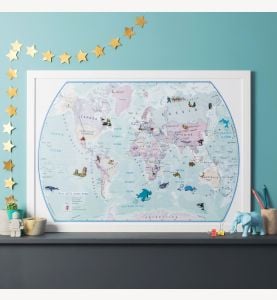
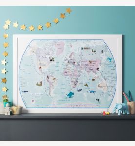 World Illustrated Sticker Map
Available in various sizes and finishes
-
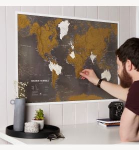 Scratch the World® black edition map print
Available in various sizes and finishes
-
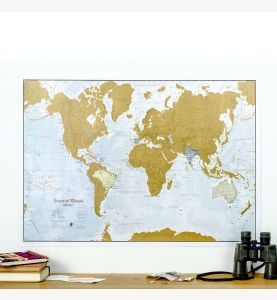 Scratch the World® Spanish language edition map print
Available in various sizes and finishes


