We use cookies to make your experience better. To comply with the new e-Privacy directive, we need to ask for your consent to set the cookies.
Classroom Maps
Our range of classroom maps includes our exclusive wall maps of the World, USA, and Continents. Many of our classroom maps are available in Political, Physical or Environmental options to ensure the best fit with learning requirements. Many of our classroom wall maps include the option to have a panel of country flags along the bottom of the map to further aid learning. Our classroom maps section offers a variety of finishes from paper and laminated finishes to mounted and framed maps for a more permanent fixture in the classroom.
-
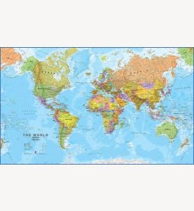 Political World Wall Map
Available in various sizes and finishes
-
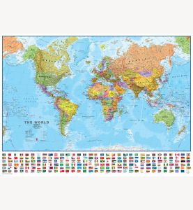 Political World Wall Map with flags
Available in various sizes and finishes
-
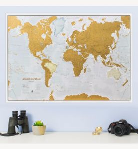 Scratch the World® map print
Available in various sizes and finishes
-
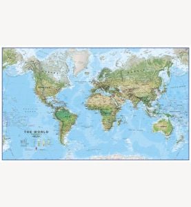 Environmental World Wall Map
Available in various sizes and finishes
-
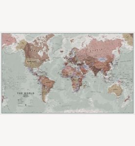 Executive Political World Wall Map
Available in various sizes and finishes
-
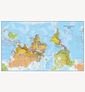 Upside-Down Political World Wall Map
Available in various sizes and finishes
-
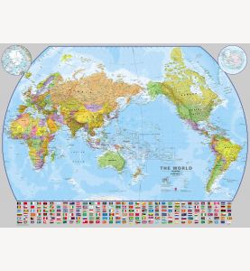 Pacific-Centered World Wall Map with flags
Available in various sizes and finishes
-
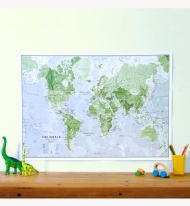 Glow-in-the-Dark World Map
Available in various sizes and finishes
-
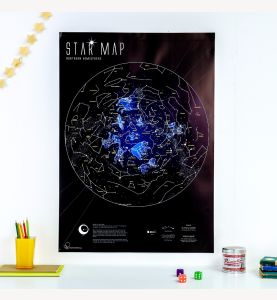 Glow-in-the-Dark Star Map
Available in various sizes and finishes
-
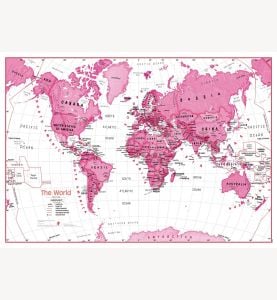 Children's Art Map of the World - Pink
Available in various sizes and finishes
-
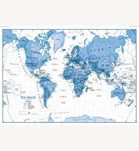 Children's Art Map of the World - Blue
Available in various sizes and finishes
-
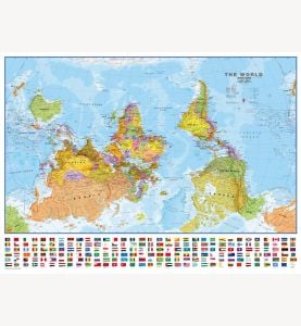 Upside-down Political World Wall Map with flags
Available in various sizes and finishes
-
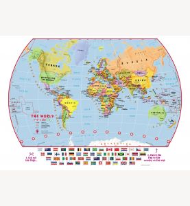 Match The Flags World Map
Available in various sizes and finishes
-
 Satellite Map of the World
Available in various sizes and finishes
-
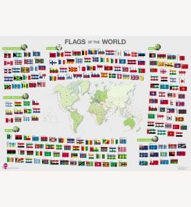 Flags of the World poster
Available in various sizes and finishes
-
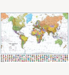 Political World Wall Map with flags - White Ocean
Available in various sizes and finishes


